Rio Grande do Sul in figures
 General data
Area: 281,737,947 km2 (2015, IBGE)
Population: 11,247,972 inhabitants (2015, IBGE)
Population density: 39.92 (2015, IBGE)
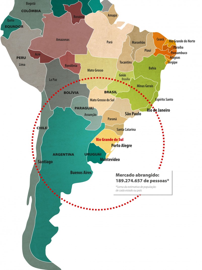
70% of South America’s Gross Domestic Product (GDP) is within a radius of 1,500 km of Porto Alegre
 Economy
GDP: R$ 392.1 billion (2015, FEE)
Brazil’s largest industrial park for:
- tobacco
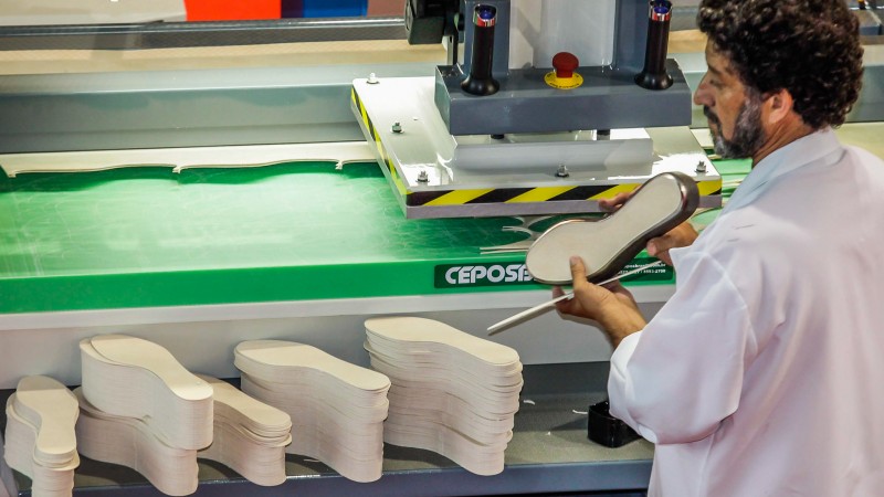
- leather and footwear
- automation
- biodiesel
- agricultural and road machinery park
- wine
- vehicle trailers and truck bodies
Brazil’s second largest industrial park for:
- metal products
- machinery and equipment
- furniture
Brazil’s third largest industrial park for:
- rubber and plastic products
Brazil’s fourth largest industrial park for:
- food
- wood products
- chemicals
- automobiles
- vessels, aircraft, military vehicles and other transport equipment
Brazil’s 3rd largest exporting state
Brazil’s 3rd most promising state
90% of Brazil’s coal reserves
70% of Brazil’s rice production
92% of Brazil’s wool production
17.5 billion dollars exported in 2015
434 cooperatives
 Infrastructure
153.9 thousand km of roads
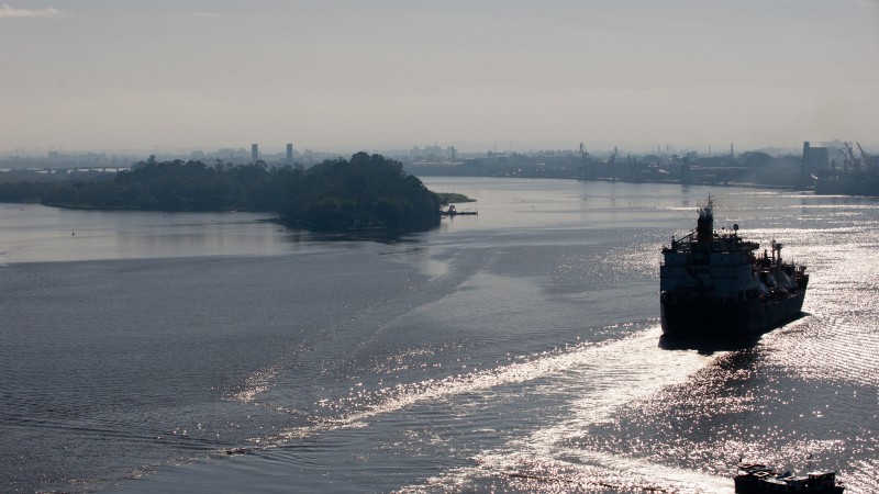
758 km of navigable waters
Second Brazilian port in exports and fourth in cargo handling
3.26 thousand km of network of railways and branch lines
 Education and science
2nd best university in Brazil: UFRGS
2nd best private university in Brazil: Unisinos
4th best private university in Brazil: PUCRS
17 universities rank among the top 100 in the country
15 technology parks
49 thousand engineers
 Culture and quality of life
11 cities are among Brazil’s top 100 cities in human development
387 museums
2 thousand libraries
